Unleashing the Power of Google Maps for Disaster Risk Assessment
In the modern world, industrial production is a significant aspect of economic development. However, it also brings along the risk of industrial hazards, especially in regions experiencing complex emergencies, such as Eastern Ukraine. A recent study titled "Novel Google Maps and Google Earth application for chemical industry disaster risk assessment during complex emergencies in Eastern Ukraine" sheds light on the potential of using Google Maps and Google Earth for assessing disaster risks in the chemical industry during such emergencies.
Understanding the Research
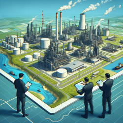
The study conducted a disaster risk assessment of chemical industrial facilities in Eastern Ukraine, particularly in the Donetsk and Luhansk Oblasts. The aim was to evaluate the potential consequences of these facilities on public health and the environment during complex emergencies. The researchers utilized an observational cross-sectional risk assessment method, collecting data on chemical factories using Google Maps and Google Earth.
Key Findings
- Over 1 million people in Donetsk Oblast and more than 350,000 in Luhansk Oblast are exposed to potential hazards from chemical facility clusters.
- The ongoing war increases the aggregation risk of bombardment of these facilities, posing significant threats to life, health, environment, and property.
- The study highlights the high likelihood and severe consequences of chemical industry disaster risks in these regions.
Practical Implications for Practitioners
For practitioners looking to improve their skills in disaster risk assessment, this research offers several valuable insights:
- Utilizing Technology: Google Maps and Google Earth can be powerful tools for identifying and assessing potential hazards, especially in regions where access to data is limited.
- Community Awareness: Educating local communities about the potential risks and how to respond to chemical incidents is crucial. This can be achieved through workshops and training sessions.
- Early Warning Systems: Implementing early warning systems for chemical leaks can significantly enhance preparedness and response efforts.
- International Collaboration: Strengthening international laws to classify attacks on chemical facilities as war crimes can help prevent such incidents in the future.
Encouraging Further Research
This study opens the door for further research in the field of disaster risk assessment. Practitioners are encouraged to explore the following areas:
- Developing comprehensive risk assessment frameworks that incorporate technological tools like Google Maps and Earth.
- Investigating the long-term environmental and public health impacts of chemical industry disasters in conflict zones.
- Exploring the integration of machine learning and remote sensing technologies for more accurate risk assessments.
To read the original research paper, please follow this link: Novel Google Maps and Google Earth application for chemical industry disaster risk assessment during complex emergencies in Eastern Ukraine.